
- Home
- Latest News
![submenu-img]() ENG vs AUS 4th ODI: Liam Livingstone scripts history, becomes first batter to achieve this milestone at Lord's
ENG vs AUS 4th ODI: Liam Livingstone scripts history, becomes first batter to achieve this milestone at Lord's![submenu-img]() Meet first man in World to have 500 mn followers on Facebook, has net worth of Rs 2176 crore, he is...
Meet first man in World to have 500 mn followers on Facebook, has net worth of Rs 2176 crore, he is...![submenu-img]() Central government makes bold move, lifts ban on agricultural sector for…
Central government makes bold move, lifts ban on agricultural sector for…![submenu-img]() BCCI announces 15-member squad for Bangladesh T20Is, pace sensation Mayank Yadav earns maiden call-up
BCCI announces 15-member squad for Bangladesh T20Is, pace sensation Mayank Yadav earns maiden call-up![submenu-img]() Watch: Aishwarya Rai fixes Aaradhya's hair and makeup before IIFA Awards, netizens ask 'yeh school jaati hai ki nahi'
Watch: Aishwarya Rai fixes Aaradhya's hair and makeup before IIFA Awards, netizens ask 'yeh school jaati hai ki nahi'
- Webstory
- DNA Hindi
![submenu-img]() नसरल्लाह के मौत से भड़के लेबनान मे Israel पर दागी मिसाइल, मिडल ईस्ट में चरम पर पहुंचा तनाव
नसरल्लाह के मौत से भड़के लेबनान मे Israel पर दागी मिसाइल, मिडल ईस्ट में चरम पर पहुंचा तनाव![submenu-img]() Aaj Ka Mausam: Delhi-NCR में सताएगी गर्मी, महाराष्ट्र में बारिश से राहत, जानें अन्य राज्यों का हाल
Aaj Ka Mausam: Delhi-NCR में सताएगी गर्मी, महाराष्ट्र में बारिश से राहत, जानें अन्य राज्यों का हाल ![submenu-img]() Devara Box Office Collection day 2: दूसरे दिन 100 करोड़ के पार हुई JR NTR की फिल्म, वीकेंड पर कमाए इतने करोड़
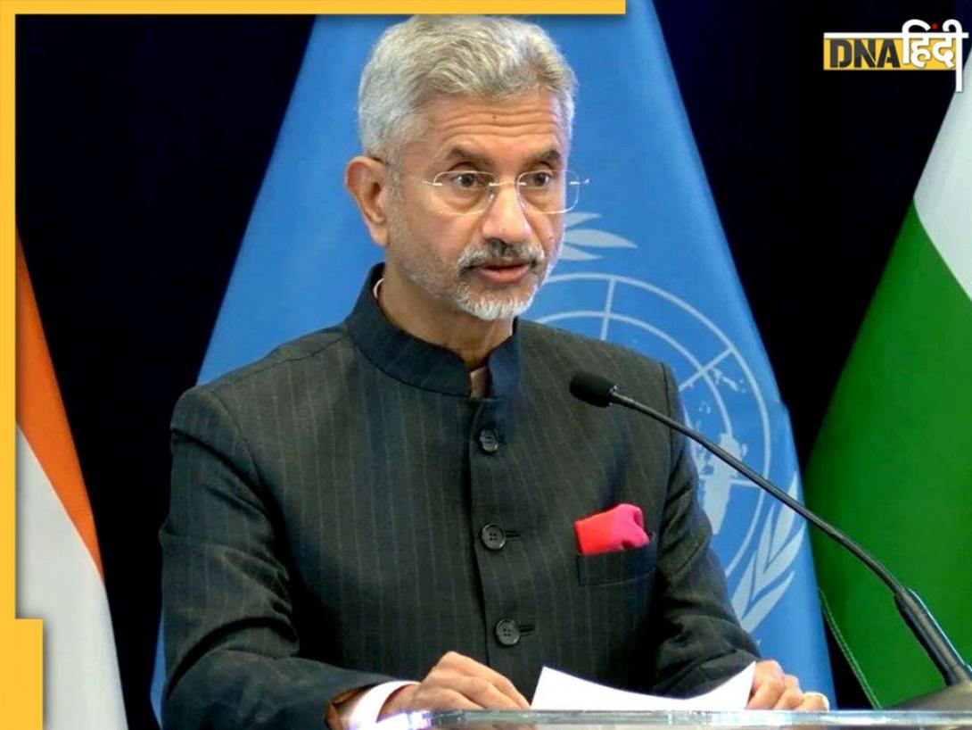
Devara Box Office Collection day 2: दूसरे दिन 100 करोड़ के पार हुई JR NTR की फिल्म, वीकेंड पर कमाए इतने करोड़![submenu-img]() 'PoK खाली किए बगैर नहीं सुलझेगा...', UNGA में पाकिस्तान पर जमकर बरसे विदेश मंत्री जयशंकर
'PoK खाली किए बगैर नहीं सुलझेगा...', UNGA में पाकिस्तान पर जमकर बरसे विदेश मंत्री जयशंकर![submenu-img]() Team India Squad: बांग्लादेश के छक्के छुड़ाएगा IPL का ये तूफानी गेंदबाज, BCCI ने पहली बार दिया टीम में मौका, नए चेहरों की भरमार
Team India Squad: बांग्लादेश के छक्के छुड़ाएगा IPL का ये तूफानी गेंदबाज, BCCI ने पहली बार दिया टीम में मौका, नए चेहरों की भरमार
- Automobile
![submenu-img]() Mahindra Thar Roxx 4x4 prices revealed, starts at Rs…
Mahindra Thar Roxx 4x4 prices revealed, starts at Rs…![submenu-img]() Sebi gives nod to Hyundai India's Rs 20,000 crore IPO, listing month is...
Sebi gives nod to Hyundai India's Rs 20,000 crore IPO, listing month is...![submenu-img]() Tata launches Nexon iCNG, check price, mileage, other features
Tata launches Nexon iCNG, check price, mileage, other features![submenu-img]() This Indian car brand set to acquire 50% stake in Skoda Auto Volkswagen India, deal will cost Rs…
This Indian car brand set to acquire 50% stake in Skoda Auto Volkswagen India, deal will cost Rs…![submenu-img]() Ford to return to India after 2 years with reopening of....
Ford to return to India after 2 years with reopening of....
- Education
![submenu-img]() Meet India's youngest woman to crack UPSC exam at age 21, secured AIR 13, but didn't become IAS due to...
Meet India's youngest woman to crack UPSC exam at age 21, secured AIR 13, but didn't become IAS due to...![submenu-img]() Meet India’s first female IAS officer, also second woman to crack UPSC exam, she was posted at...
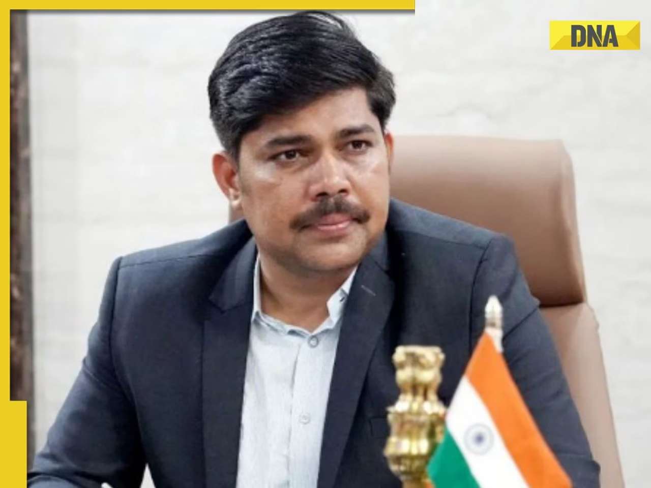
Meet India’s first female IAS officer, also second woman to crack UPSC exam, she was posted at...![submenu-img]() Meet man, bangle seller who cracked UPSC exam despite being specially abled, becomes IAS officer with AIR...
Meet man, bangle seller who cracked UPSC exam despite being specially abled, becomes IAS officer with AIR...![submenu-img]() Meet man who passed AIIMS exam at 16, cracked UPSC exam at 22, later resigned as IAS officer to build...
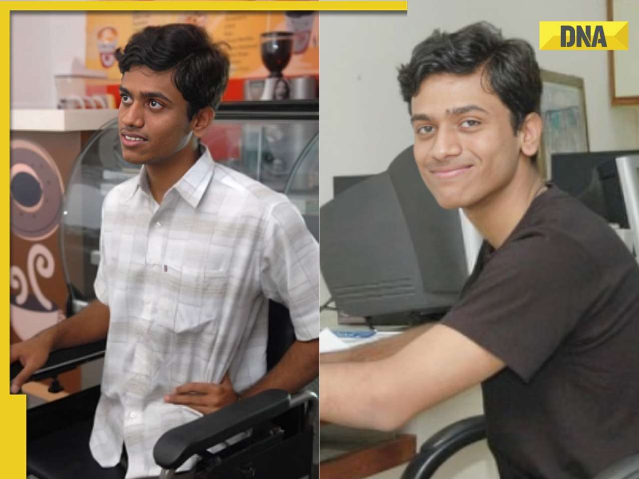
Meet man who passed AIIMS exam at 16, cracked UPSC exam at 22, later resigned as IAS officer to build...![submenu-img]() Meet man who lost his legs, cracked JEE Advanced, completed B.Tech from IIT Madras, is now working at…
Meet man who lost his legs, cracked JEE Advanced, completed B.Tech from IIT Madras, is now working at…
- Videos
![submenu-img]() IIFA Awards 2024: Date, Time, Venue And Where To Watch - All You Need To Know
IIFA Awards 2024: Date, Time, Venue And Where To Watch - All You Need To Know![submenu-img]() Congress President Kharge Slams & Opposes 'One Nation, One Election' Proposal, Calls It Impractical
Congress President Kharge Slams & Opposes 'One Nation, One Election' Proposal, Calls It Impractical![submenu-img]() Why 'One Nation One Election' Is important? Ashwini Vaishnaw Explains After It Gets Cabinet Approval
Why 'One Nation One Election' Is important? Ashwini Vaishnaw Explains After It Gets Cabinet Approval![submenu-img]() Jammu Kashmir Assembly Election 2024 Phase 1 Highlights: What Happened In First phase In J&K Polls?
Jammu Kashmir Assembly Election 2024 Phase 1 Highlights: What Happened In First phase In J&K Polls?![submenu-img]() One Nation One Election: Centre Clears Proposal, Bill To Be Introduced In Winter Session | Modi 3.0
One Nation One Election: Centre Clears Proposal, Bill To Be Introduced In Winter Session | Modi 3.0
- Business
![submenu-img]() Meet first man in World to have 500 mn followers on Facebook, has net worth of Rs 2176 crore, he is...
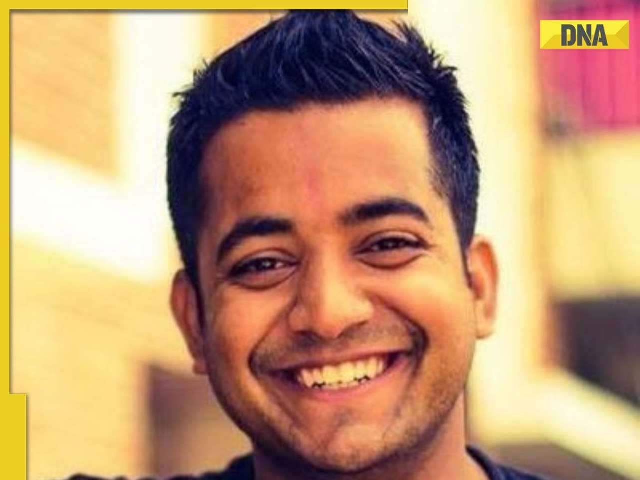
Meet first man in World to have 500 mn followers on Facebook, has net worth of Rs 2176 crore, he is...![submenu-img]() Meet man, who started company after sending drunk text to boss, not from IIT, IIM, his worth is Rs...
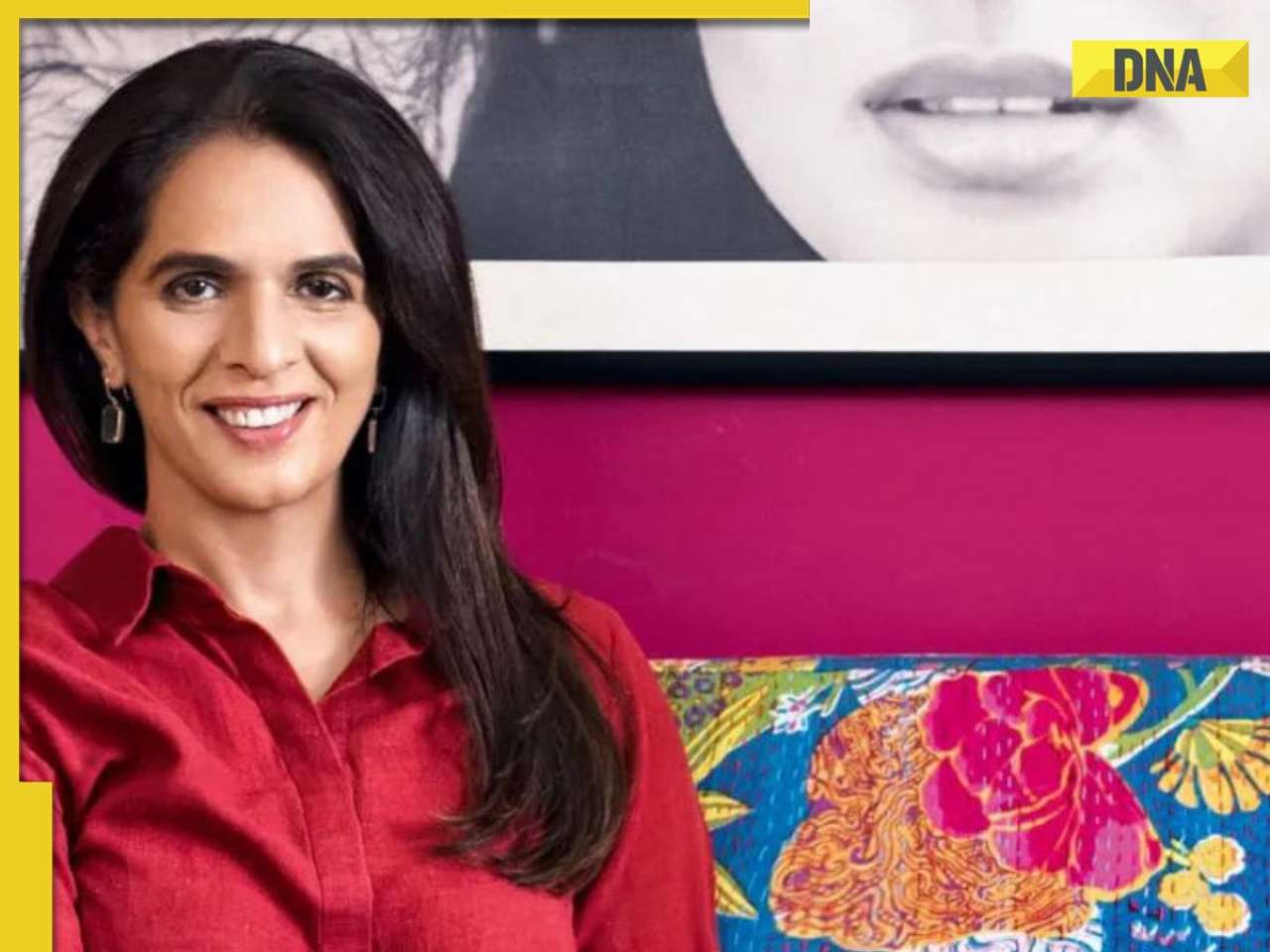
Meet man, who started company after sending drunk text to boss, not from IIT, IIM, his worth is Rs...![submenu-img]() Meet woman, who started business with two sewing machines, now styles Nita Ambani, Alia Bhatt, Priyanka Chopra
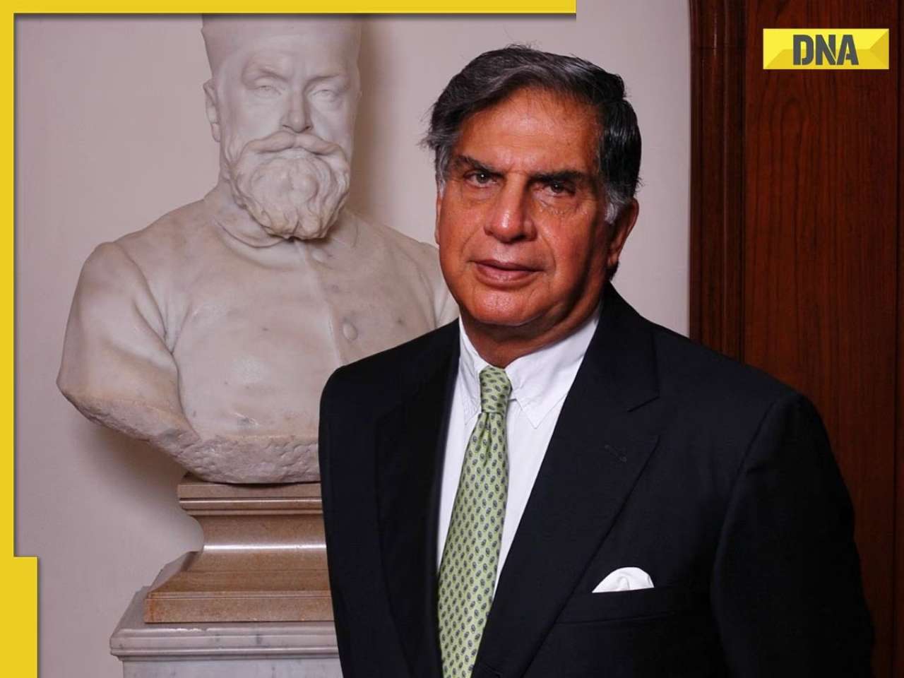
Meet woman, who started business with two sewing machines, now styles Nita Ambani, Alia Bhatt, Priyanka Chopra![submenu-img]() Ratan Tata's iPhone manufacturing company plans to take big step, as they are about to hire....
Ratan Tata's iPhone manufacturing company plans to take big step, as they are about to hire....![submenu-img]() Alia Bhatt reacts as Ranbir Kapoor makes a big move on his 42nd birthday, launches…
Alia Bhatt reacts as Ranbir Kapoor makes a big move on his 42nd birthday, launches…
- Photos
- India
![submenu-img]() Central government makes bold move, lifts ban on agricultural sector for…
Central government makes bold move, lifts ban on agricultural sector for…![submenu-img]() Odisha orders Internet shut down for 48 hours in Bhadrak district in order to prevent spread of...
Odisha orders Internet shut down for 48 hours in Bhadrak district in order to prevent spread of...![submenu-img]() Haryana: 3 dead, 9 injured in illegal firecracker factory blast in Sonipat, here's what we know so far
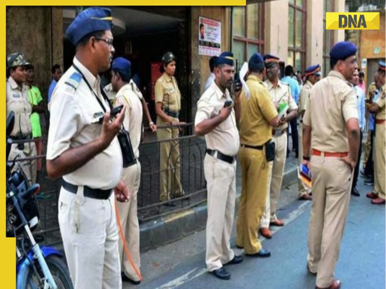
Haryana: 3 dead, 9 injured in illegal firecracker factory blast in Sonipat, here's what we know so far![submenu-img]() Mumbai on high alert after terrorist attack threat, security tightened across city
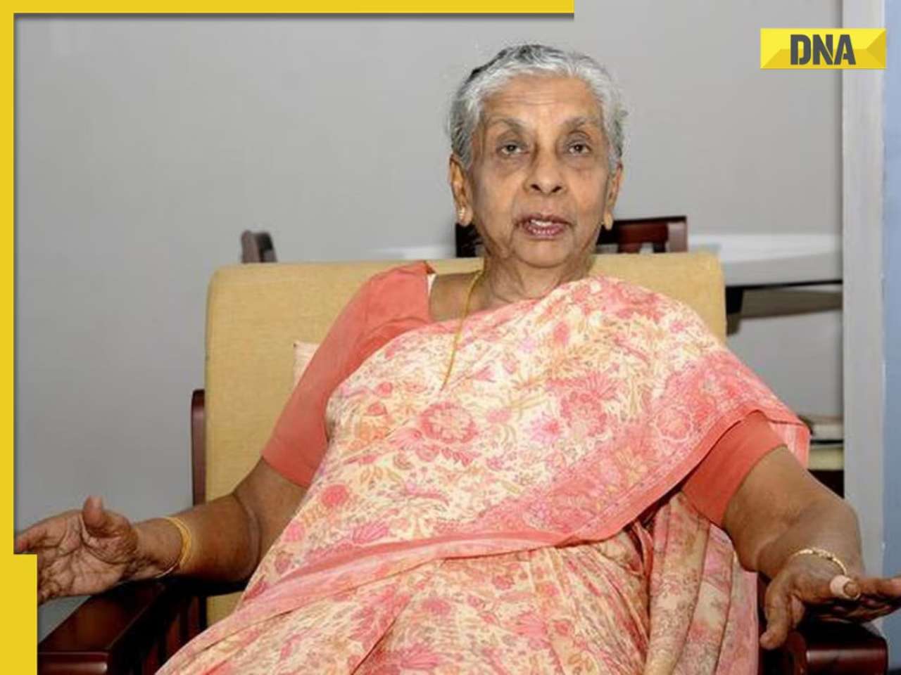
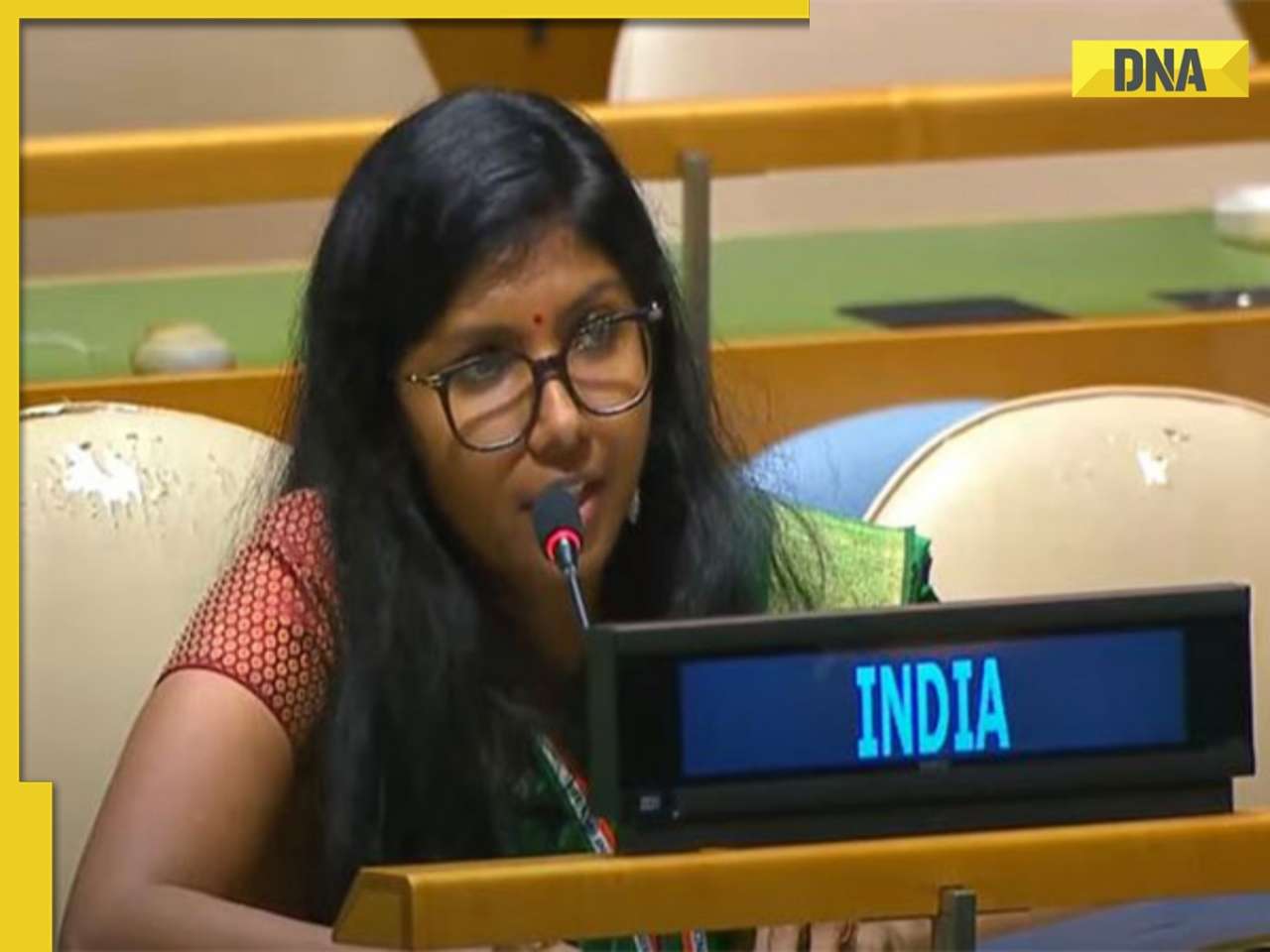
Mumbai on high alert after terrorist attack threat, security tightened across city![submenu-img]() Meet woman, IIT graduate, UPSC 2015 batch IFS officer, who schooled Pakistan PM at UNGA over…
Meet woman, IIT graduate, UPSC 2015 batch IFS officer, who schooled Pakistan PM at UNGA over…


)
)
)
)
)
)
)
)
)
)
)
)
)
)


)
)
)
)
)
)