
- Home
- Latest News
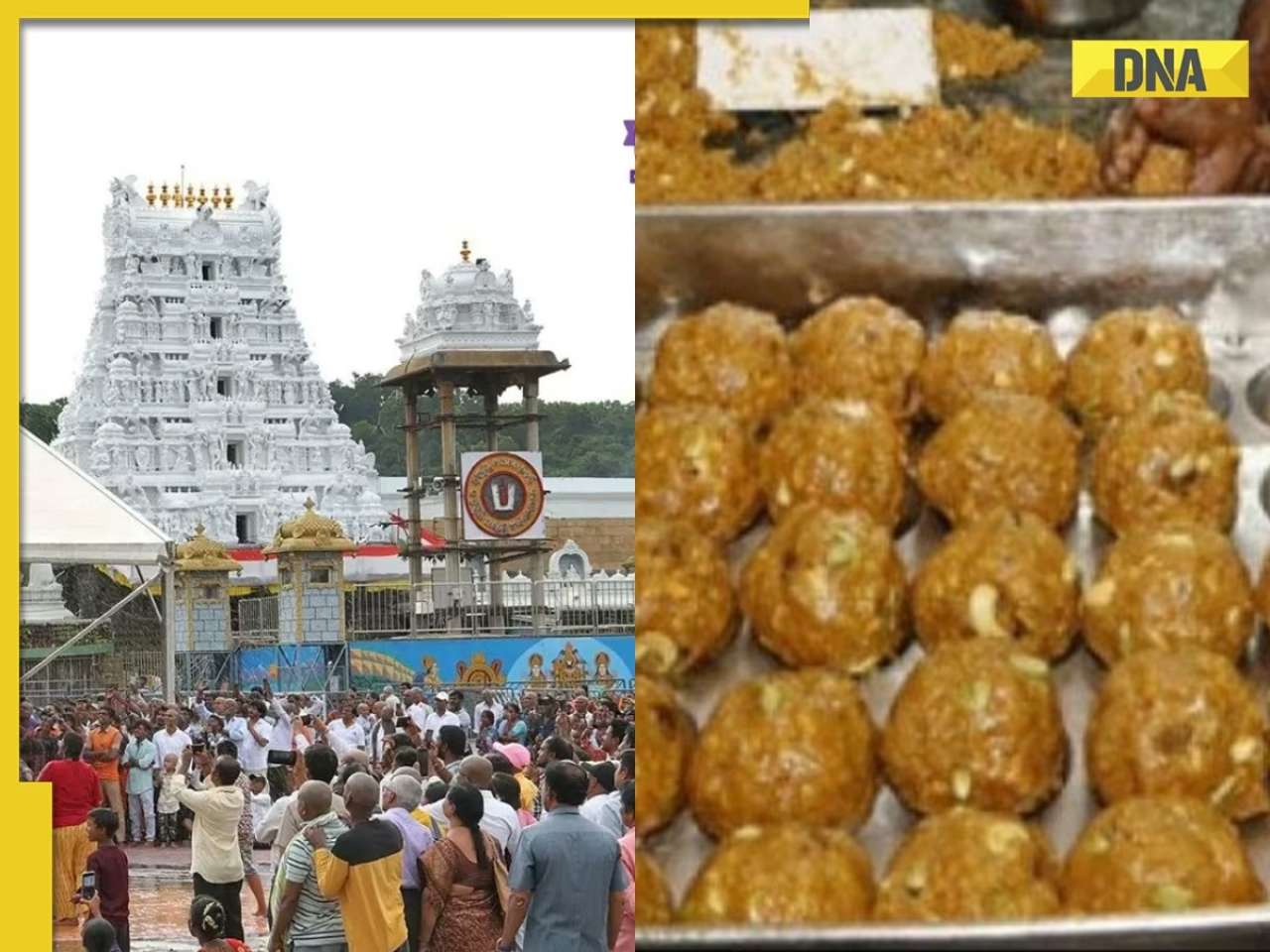
![submenu-img]() Tirupati laddu row: FSSAI issues show cause notice to ghee supplier, asks why its...
Tirupati laddu row: FSSAI issues show cause notice to ghee supplier, asks why its...![submenu-img]() India's richest actress received Rs 25 as her first salary, became biggest female star, died young and penniless at...
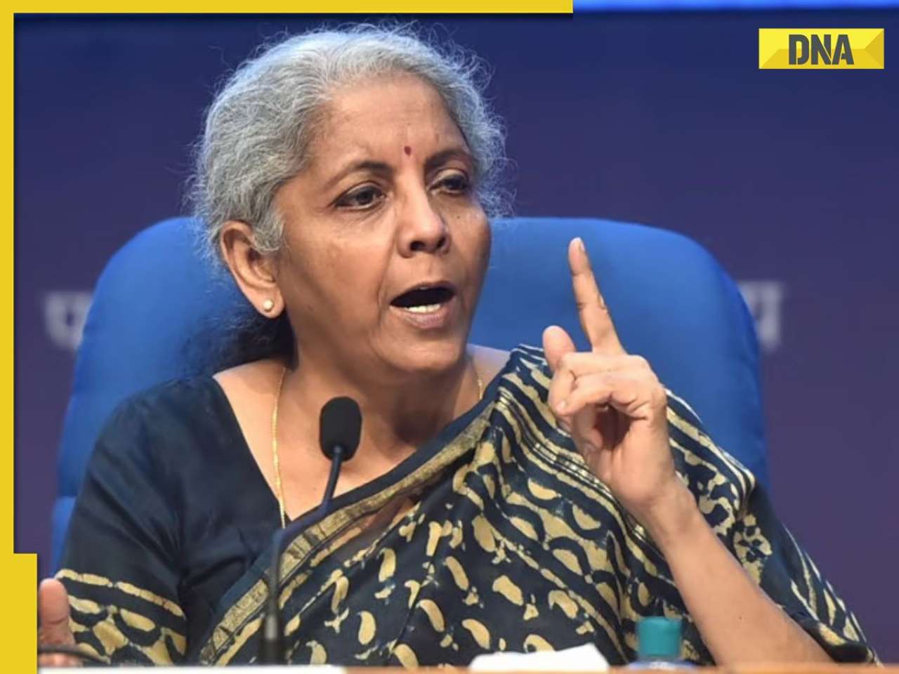
India's richest actress received Rs 25 as her first salary, became biggest female star, died young and penniless at...![submenu-img]() FM Nirmala Sitharaman clarifies her remark on EY employee's death case, says 'Not victim...'
FM Nirmala Sitharaman clarifies her remark on EY employee's death case, says 'Not victim...'![submenu-img]() US proposes to ban Chinese software after President Biden and PM Modi's summit
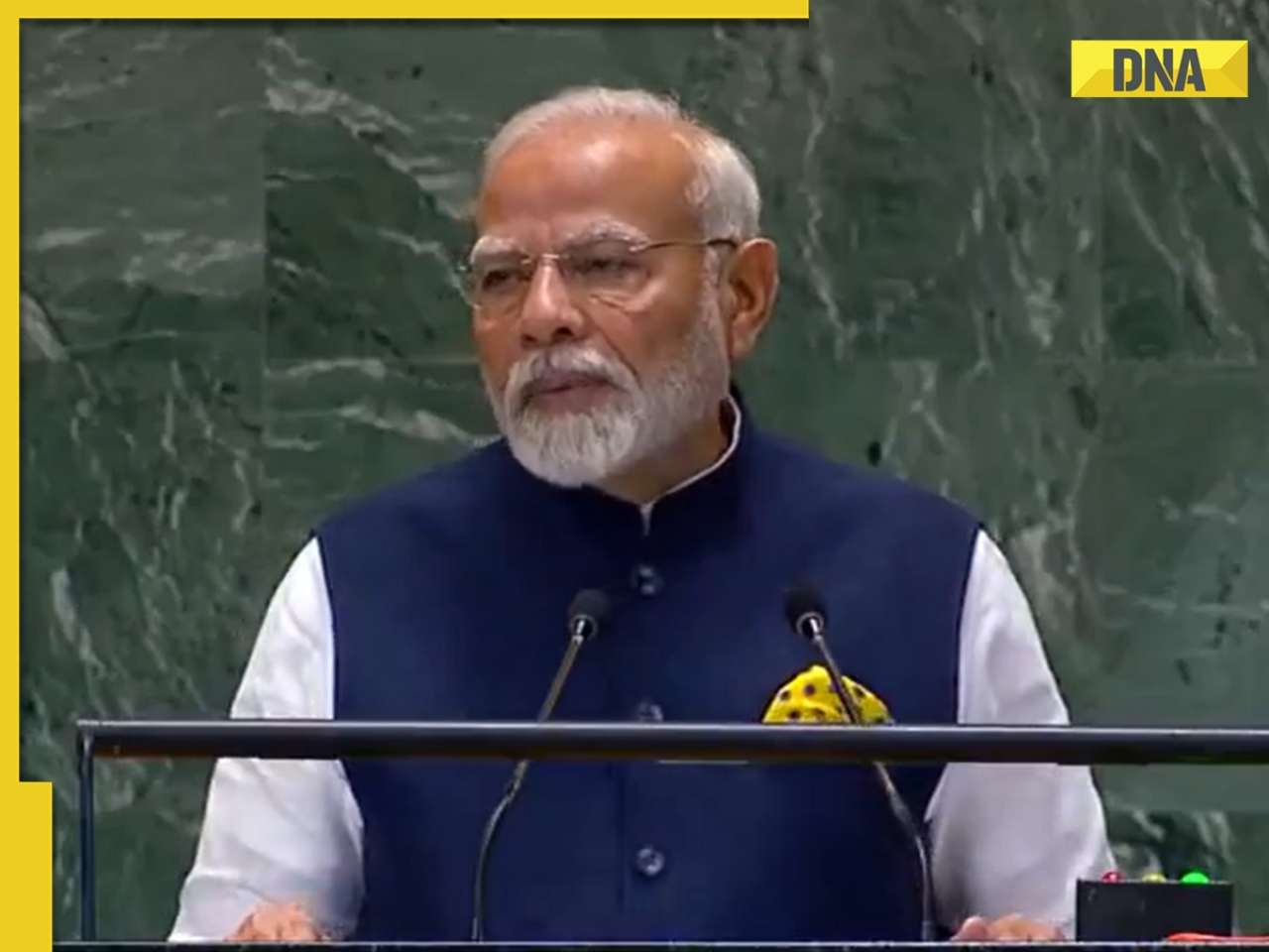
US proposes to ban Chinese software after President Biden and PM Modi's summit![submenu-img]() 'Humanity's success lies in collective strength, not on...': PM Modi's strong message at UN Summit
'Humanity's success lies in collective strength, not on...': PM Modi's strong message at UN Summit
- Webstory
- DNA Hindi
![submenu-img]() Mumbai News: सिद्धिविनायक मंदिर के लड्डुओं पर चूहों ने दिए बच्चे, प्रसाद की शुद्धता पर उठे सवाल
Mumbai News: सिद्धिविनायक मंदिर के लड्डुओं पर चूहों ने दिए बच्चे, प्रसाद की शुद्धता पर उठे सवाल![submenu-img]() Japan Earthquake: जापान में भूकंप के बड़े झटके, सुनामी का अलर्ट भी जारी
Japan Earthquake: जापान में भूकंप के बड़े झटके, सुनामी का अलर्ट भी जारी![submenu-img]() Aaj Ka Mausam: Delhi में हाए गर्मी! क्या हो गया मानसून का 'The END', जानें यूपी से लेकर राजस्थान तक कैसा रहेगा मौसम
Aaj Ka Mausam: Delhi में हाए गर्मी! क्या हो गया मानसून का 'The END', जानें यूपी से लेकर राजस्थान तक कैसा रहेगा मौसम ![submenu-img]() Gazipur News: 1 लाख का इनामी बदमाश जाहिद उर्फ सोनू मुठभेड़ में ढेर, UP पुलिस का बड़ा एक्शन
Gazipur News: 1 लाख का इनामी बदमाश जाहिद उर्फ सोनू मुठभेड़ में ढेर, UP पुलिस का बड़ा एक्शन ![submenu-img]() Israel–Hezbollah conflict: इजरायल के हमले से लेबनान में 492 की मौत,18 साल में हिजबुल्लाह पर सबसे बड़ा अटैक
Israel–Hezbollah conflict: इजरायल के हमले से लेबनान में 492 की मौत,18 साल में हिजबुल्लाह पर सबसे बड़ा अटैक
- Automobile
![submenu-img]() Ford to return to India after 2 years with reopening of....
Ford to return to India after 2 years with reopening of....![submenu-img]() Maruti Suzuki launches new Swift CNG, check price, mileage, other features
Maruti Suzuki launches new Swift CNG, check price, mileage, other features![submenu-img]() ‘30 LPA, 3BHK, no in-laws’: Woman earning Rs 1.32 lakh salary lists demands for future husband, netizens say...
‘30 LPA, 3BHK, no in-laws’: Woman earning Rs 1.32 lakh salary lists demands for future husband, netizens say...![submenu-img]() In a big EV push, Centre launches Rs 10900 crore PM E-Drive scheme to replace…
In a big EV push, Centre launches Rs 10900 crore PM E-Drive scheme to replace…![submenu-img]() World’s longest car has helipad, swimming pool, mini-golf course, can seat over…; it cost…
World’s longest car has helipad, swimming pool, mini-golf course, can seat over…; it cost…
- Education
![submenu-img]() Meet woman, IIT graduate, who left bank job to become state topper in UPSC, now working as...
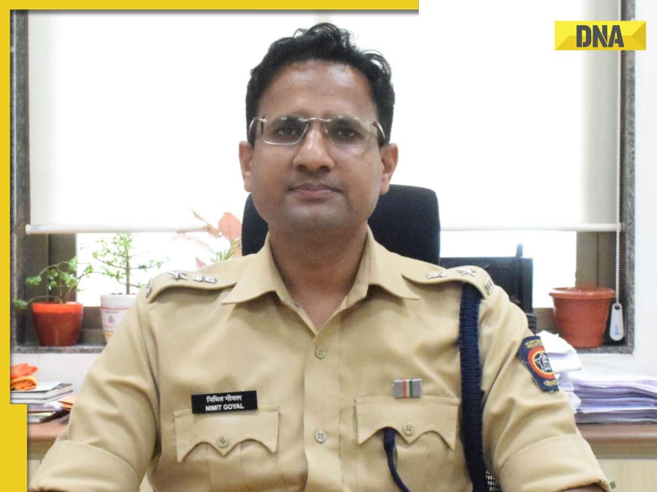
Meet woman, IIT graduate, who left bank job to become state topper in UPSC, now working as...![submenu-img]() Meet IPS officer, who has resigned after 10 yrs of service to work in...
Meet IPS officer, who has resigned after 10 yrs of service to work in...![submenu-img]() Meet IAS officer Tina Dabi, Ria Dabi’s mother, who cleared UPSC, became IES officer, later resigned due to...
Meet IAS officer Tina Dabi, Ria Dabi’s mother, who cleared UPSC, became IES officer, later resigned due to...![submenu-img]() Meet man, who cleared JEE twice but left IIT, cracked UPSC exam with AIR 38, resigned as IAS officer to become…
Meet man, who cleared JEE twice but left IIT, cracked UPSC exam with AIR 38, resigned as IAS officer to become…![submenu-img]() IAS officer Tina Dabi’s schedule shows she studied 11-hour a day; check UPSC topper's marksheet and time table
IAS officer Tina Dabi’s schedule shows she studied 11-hour a day; check UPSC topper's marksheet and time table
- Videos
![submenu-img]() Congress President Kharge Slams & Opposes 'One Nation, One Election' Proposal, Calls It Impractical
Congress President Kharge Slams & Opposes 'One Nation, One Election' Proposal, Calls It Impractical![submenu-img]() Why 'One Nation One Election' Is important? Ashwini Vaishnaw Explains After It Gets Cabinet Approval
Why 'One Nation One Election' Is important? Ashwini Vaishnaw Explains After It Gets Cabinet Approval![submenu-img]() Jammu Kashmir Assembly Election 2024 Phase 1 Highlights: What Happened In First phase In J&K Polls?
Jammu Kashmir Assembly Election 2024 Phase 1 Highlights: What Happened In First phase In J&K Polls?![submenu-img]() One Nation One Election: Centre Clears Proposal, Bill To Be Introduced In Winter Session | Modi 3.0
One Nation One Election: Centre Clears Proposal, Bill To Be Introduced In Winter Session | Modi 3.0![submenu-img]() Haryana Elections 2024: Is BJP Set To Lose In Haryana? Anti-Incumbency And Other Factors Analysed
Haryana Elections 2024: Is BJP Set To Lose In Haryana? Anti-Incumbency And Other Factors Analysed
- Business
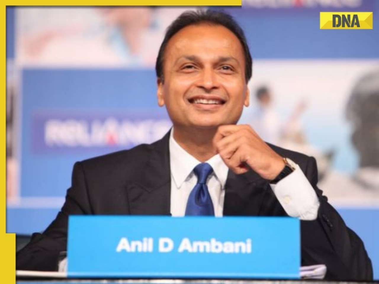
![submenu-img]() After becoming debt-free, Anil Ambani's company approves Rs 1525 crore plan for...
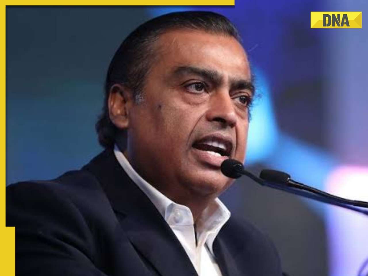
After becoming debt-free, Anil Ambani's company approves Rs 1525 crore plan for...![submenu-img]() Mukesh Ambani's Reliance teams up with govt company for India's biggest...
Mukesh Ambani's Reliance teams up with govt company for India's biggest...![submenu-img]() Meet man, one of youngest Indian CEOs, has net worth of Rs 4300 crore, runs company worth Rs...
Meet man, one of youngest Indian CEOs, has net worth of Rs 4300 crore, runs company worth Rs...![submenu-img]() Harnessing Predictive Analytics to Transform Credit Risk Assessment: Insights from Saugat Nayak
Harnessing Predictive Analytics to Transform Credit Risk Assessment: Insights from Saugat Nayak![submenu-img]() Sebi imposes Rs 10000000 fine on Anil Ambani's son Anmol Ambani for...
Sebi imposes Rs 10000000 fine on Anil Ambani's son Anmol Ambani for...
- Photos
![submenu-img]() Top sports bikes to buy under Rs 3 lakh: Check prices, features and more
Top sports bikes to buy under Rs 3 lakh: Check prices, features and more![submenu-img]() How was universe created as per Hinduism?
How was universe created as per Hinduism?![submenu-img]() Ananya Panday poses with Orry, Faye D'Souza in BTS pics from Call Me Bae; Vir Das, Varun Sood also make appearance
Ananya Panday poses with Orry, Faye D'Souza in BTS pics from Call Me Bae; Vir Das, Varun Sood also make appearance![submenu-img]() 5 most reliable electric cars in the world
5 most reliable electric cars in the world![submenu-img]() 7 most expensive paintings in the world, Mona Lisa not in list
7 most expensive paintings in the world, Mona Lisa not in list
- India
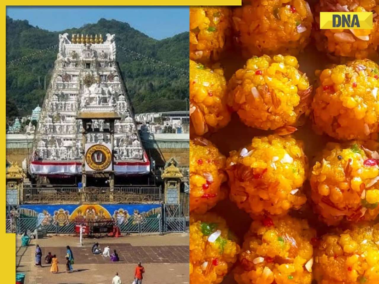
![submenu-img]() Tirupati laddu row: FSSAI issues show cause notice to ghee supplier, asks why its...
Tirupati laddu row: FSSAI issues show cause notice to ghee supplier, asks why its...![submenu-img]() FM Nirmala Sitharaman clarifies her remark on EY employee's death case, says 'Not victim...'
FM Nirmala Sitharaman clarifies her remark on EY employee's death case, says 'Not victim...'![submenu-img]() 'Humanity's success lies in collective strength, not on...': PM Modi's strong message at UN Summit
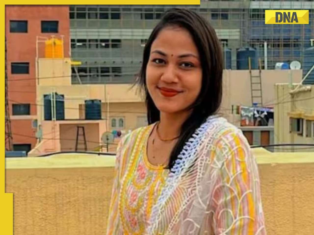
'Humanity's success lies in collective strength, not on...': PM Modi's strong message at UN Summit![submenu-img]() Ashraf cuts Mahalaxmi into 30 pieces: Truth behind horrifying Bengaluru incident out
Ashraf cuts Mahalaxmi into 30 pieces: Truth behind horrifying Bengaluru incident out![submenu-img]() Amid Tirupati laddu row, this temple in UP bans 'prasad' from market for offering
Amid Tirupati laddu row, this temple in UP bans 'prasad' from market for offering


)
)
)
)
)
)
)
)
)
)
)
)
)
)


)
)
)
)
)
)