- LATEST
- WEBSTORY
- TRENDING


INDIA
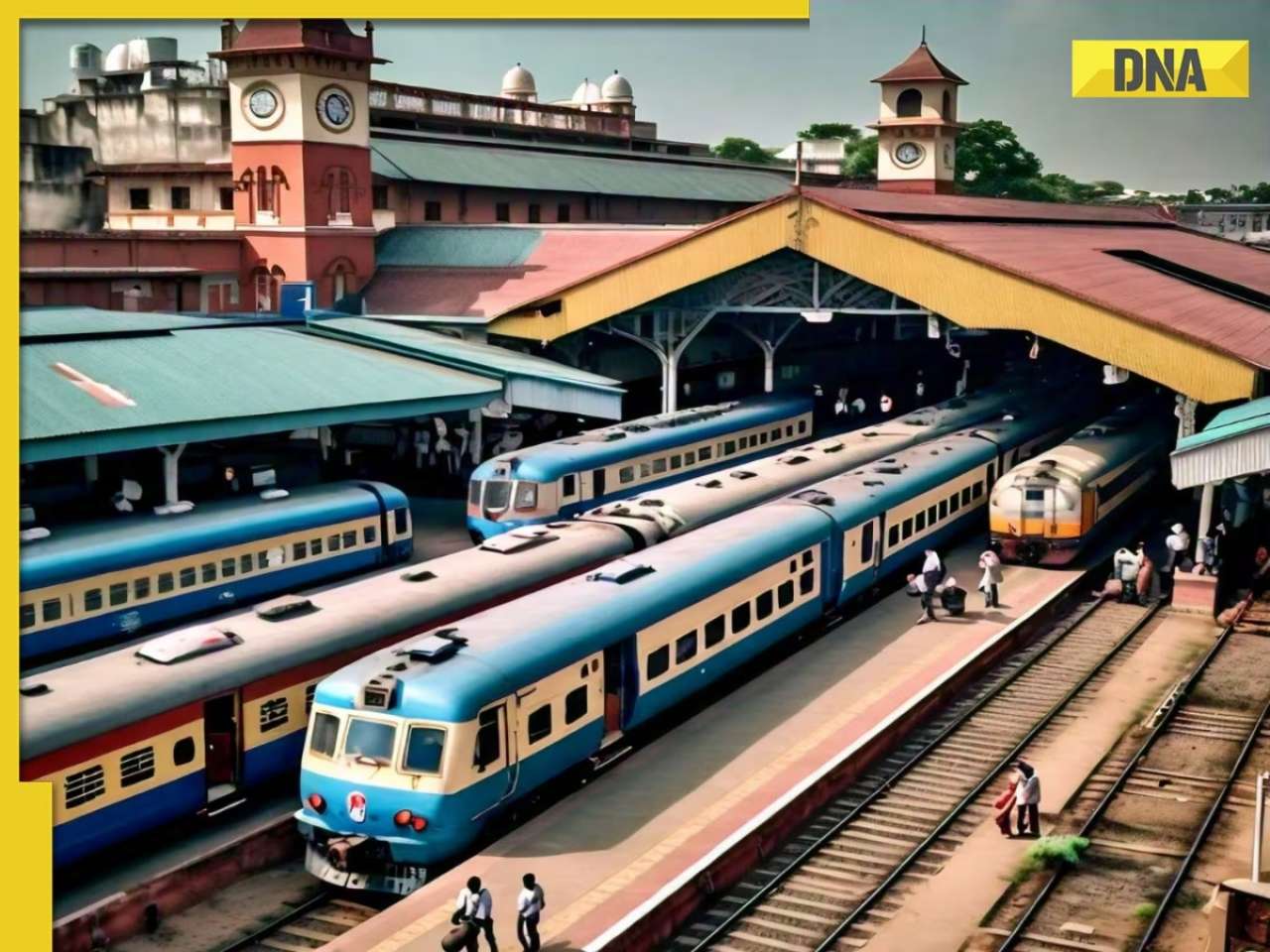
GNSS: Here's how India’s new GPS-based toll system will change your highway travel
The Ministry of Road Transport and Highways has revised the National Highways Fee (Determination of Rates and Collection) Rules, 2008 to include electronic toll collection through satellite-based systems.

Updated : Sep 15, 2024, 07:50 PM IST
 "GNSS: Here's how India’s new GPS-based toll system will change your highway travel")
TRENDING NOW
)
India vs Australia Live Streaming: When and where to watch first Test of Border-Gavaskar Trophy on TV and online
)
Allu Arjun, Rashmika Mandanna's Pushpa 2 has already earned Rs 1000 crore before its release, here's how
)
Hinduja Group firm gets key approval for acquisition of Anil Ambani's debt-ridden Reliance Capital
)
Before Pakistani TikTok star Minahil Malik, actress Rida Isfahani's MMS video leaked online by...
)
Gandii Baat, XXX actress Aabha Paul sets Instagram on fire with hot photos
)
Amid divorce rumours with Aishwarya Rai, Abhishek Bachchan tells Amitabh Bachchan: 'I hope people don't...'
)
Amitabh Bachchan praises Abhishek Bachchan's new film, netizens ask 'kash ye Aishwarya...'
)
7 times XXX, Gandii Baat actress Aabha Paul crashed the internet by flaunting her sexy curves
)
After separation from ex-wife Saira Banu, AR Rahman makes major announcement: 'I am deeply grateful to...'
)
Shweta Tiwari's wedding photos with Bigg Boss 13 contestant Vishal Aditya Singh go viral, here's the truth behind them
)
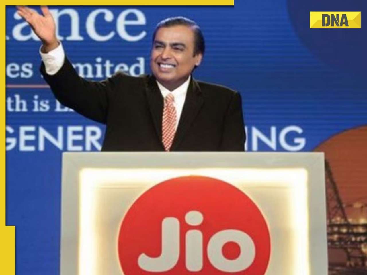
Mukesh Ambani's Jio to get tough competition from BSNL, plan provides unlimited benefits for less than Rs...
)
Meet Mathira Khan, Pakistani influencer whose private video leaked after Minahil Malik, Imsha Rehman
)
'Good to be back': After breaking up with Malaika Arora, Arjun Kapoor reunites with his 'partner-in-crime after ages'
)
Amid Aishwarya Rai-Abhishek Bachchan divorce rumours, Jaya Bachchan says 'not my daughter' in viral video
)
After breakup with Malaika Arora, Arjun Kapoor dedicates his new tattoo to this special person in his life
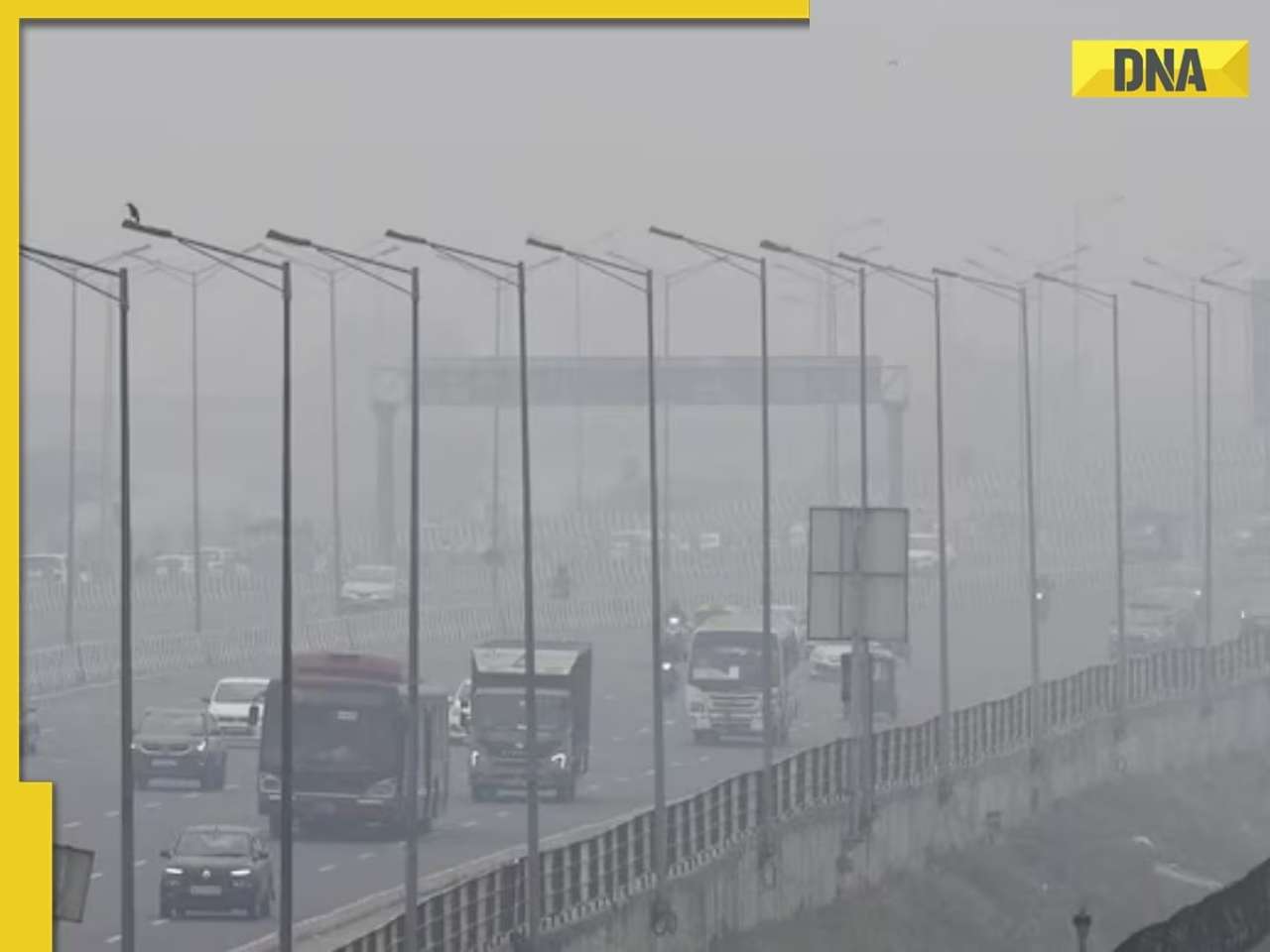
The government of India will soon roll out the new toll collection system, GNSS (Global Navigation Satellite System), aimed to eventually replace FASTags on highways. The Ministry of Road Transport and Highways has revised the National Highways Fee (Determination of Rates and Collection) Rules, 2008 to include electronic toll collection through satellite-based systems.
What is GNSS?
The GPS-based toll system uses satellites and in-car tracking systems to calculate tolls based on the distance travelled.
The new system is likely to begin with a hybrid system that combines GNSS and FASTag. With time, the GNSS is planned to completely replace the current tolling system. There will be some advantages to making this shift.
20 km of toll-free travel
The most significant advantage for drivers under the GNSS system will offer 20 km of toll-free travel. This will be revolutionary for individuals living close to toll plazas who often make short trips. At present, even if you live only a few kilometers from a toll plaza, you still need to pay the same toll as someone traveling a much longer distance.
No toll booths
As GNSS uses satellite tracking, vehicles won't have to slow down or stop to pay tolls anymore. This will lead to smoother traffic flow and reduced congestion, giving drivers an uninterrupted travel experience.
Reduce travel time
As you won’t need to stop on toll plazas, this will significantly reduce travel time and complete your road journeys much faster.
Better road planning
Once the GNSS becomes effective, the satellite monitoring data can provide important information about traffic patterns, route usage, and congestion areas.
With the real-time data available, this helps authorities to make better-informed decisions regarding infrastructure development, road maintenance, and upcoming highway projects.
The DNA app is now available for download on the Google Play Store. Please download the app and share your feedback with us.