
- Home
- Latest News
![submenu-img]() 'What was that?': Aparshakti Khurana got angry phone call from Amar Kaushik for 'PR game' remark on Stree 2 credit war
'What was that?': Aparshakti Khurana got angry phone call from Amar Kaushik for 'PR game' remark on Stree 2 credit war![submenu-img]() Afghanistan vs New Zealand, One-off Test: Date, time, venue, live streaming, tickets - All you need to know
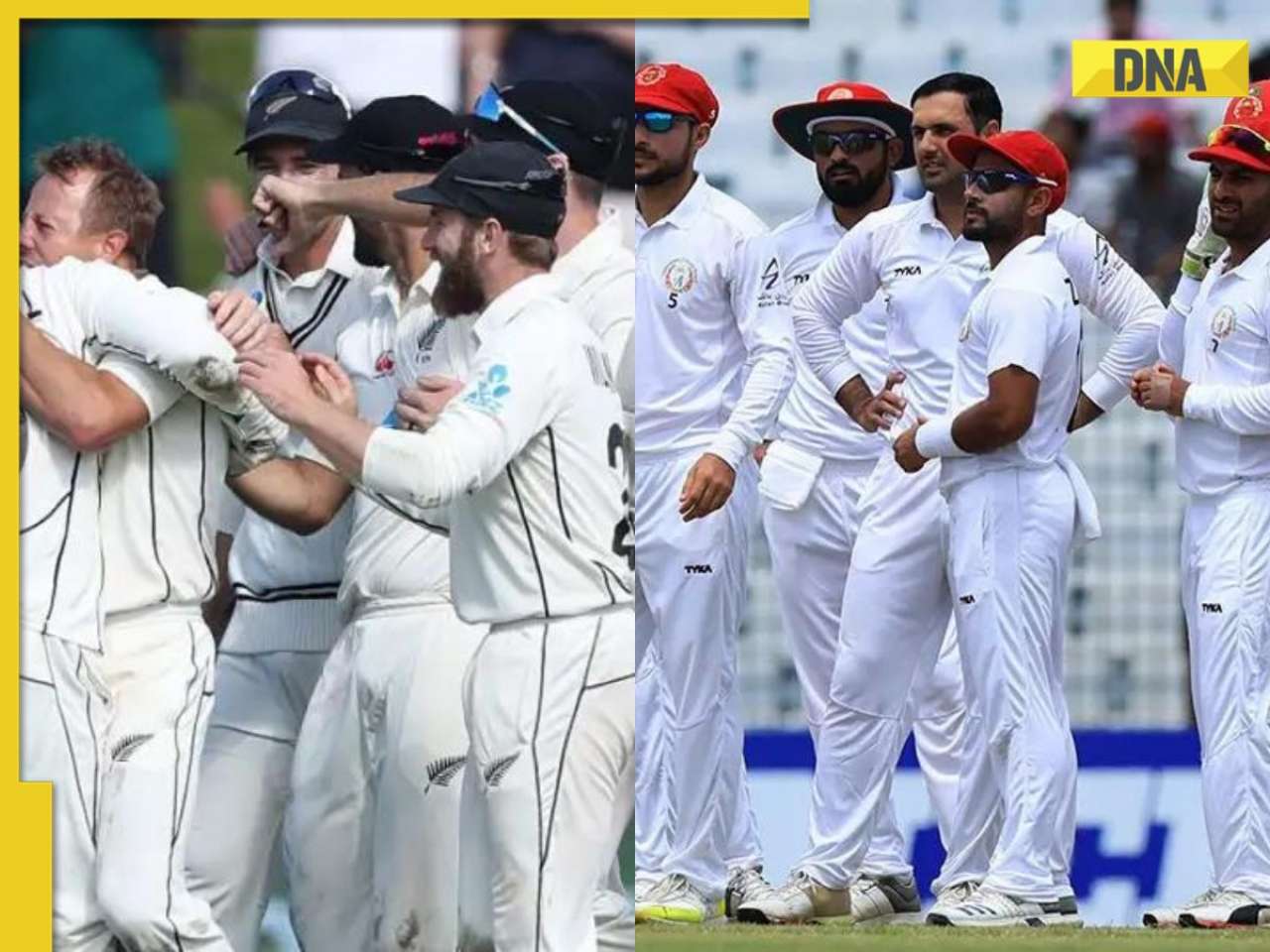
Afghanistan vs New Zealand, One-off Test: Date, time, venue, live streaming, tickets - All you need to know![submenu-img]() This college turned down Gautam Adani’s application, after 46 years called to honour him
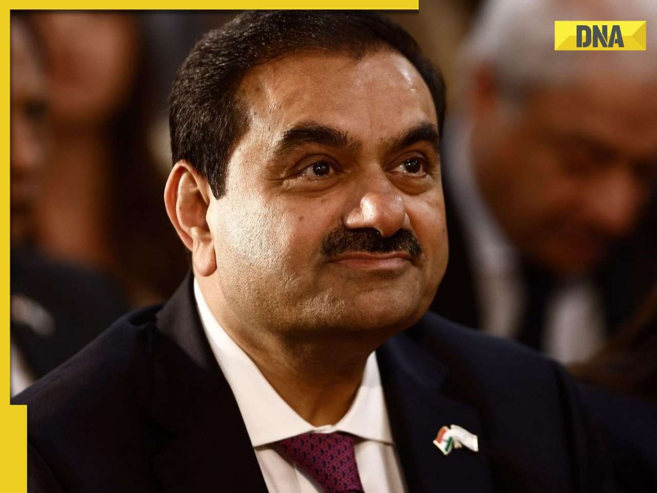
This college turned down Gautam Adani’s application, after 46 years called to honour him![submenu-img]() Is Flipkart Minutes the new Santa? Bengaluru man gets free PS5 with TV order
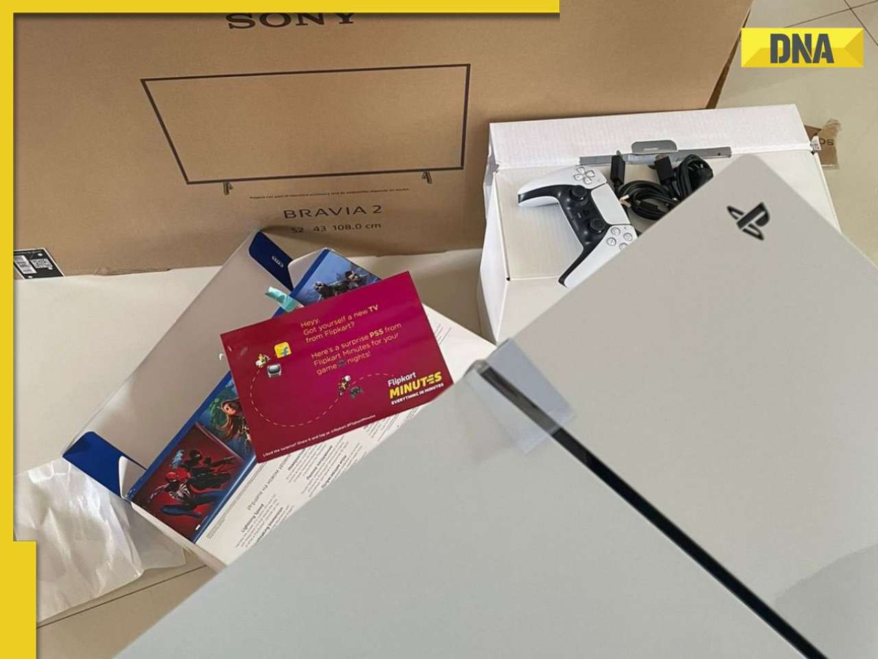
Is Flipkart Minutes the new Santa? Bengaluru man gets free PS5 with TV order![submenu-img]() Deepika Padukone, Ranveer Singh visit Mumbai hospital with families; spark speculations about baby's birth
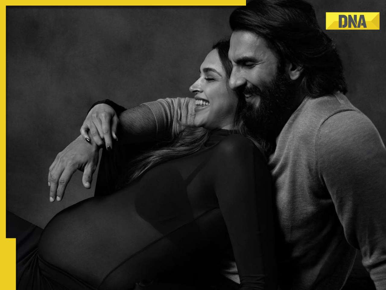
Deepika Padukone, Ranveer Singh visit Mumbai hospital with families; spark speculations about baby's birth
- Webstory
- DNA Hindi
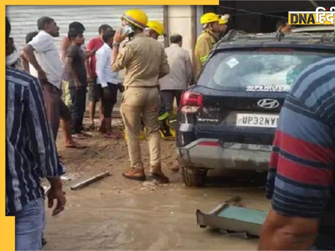
![submenu-img]() Lucknow में भरभराकर गिरी 3 मंजिला इमारत, 1 की मौत, 10 घायल, मलबे में दबे कई लोग, CM योगी ने लिया संज्ञान
Lucknow में भरभराकर गिरी 3 मंजिला इमारत, 1 की मौत, 10 घायल, मलबे में दबे कई लोग, CM योगी ने लिया संज्ञान![submenu-img]() Manipur Violence: मणिपुर हिंसा में अभी तक 5 लोगों की मौत, आतंकियों के 3 बंकर किए गए ध्वस्त
Manipur Violence: मणिपुर हिंसा में अभी तक 5 लोगों की मौत, आतंकियों के 3 बंकर किए गए ध्वस्त![submenu-img]() पूजा खेडकर पर केंद्र का बड़ा एक्शन, IAS पद से किया गया बर्खास्त
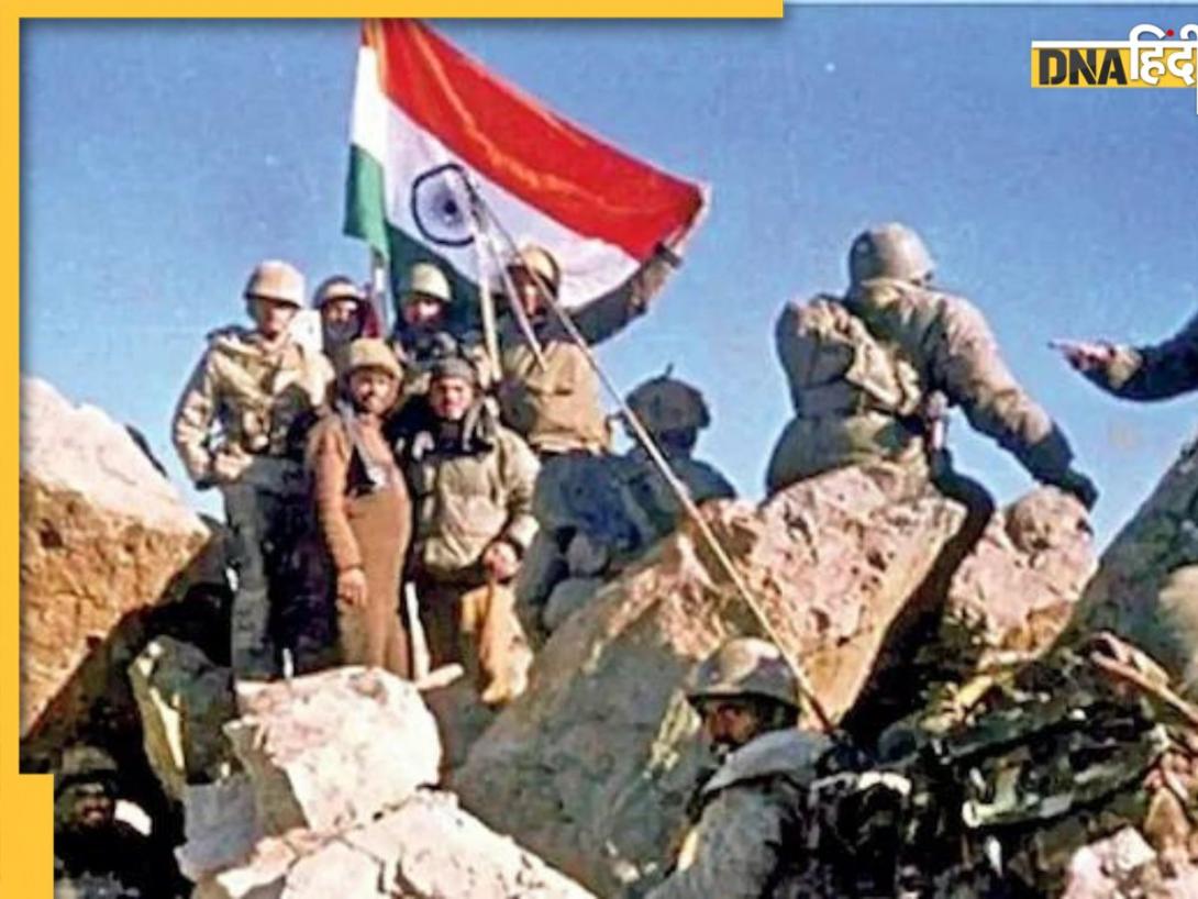
पूजा खेडकर पर केंद्र का बड़ा एक्शन, IAS पद से किया गया बर्खास्त![submenu-img]() पाकिस्तान ने पहली बार कबूली कारगिल युद्ध में अपनी भागीदारी, जानें आर्मी चीफ मुनीर ने क्या कहा
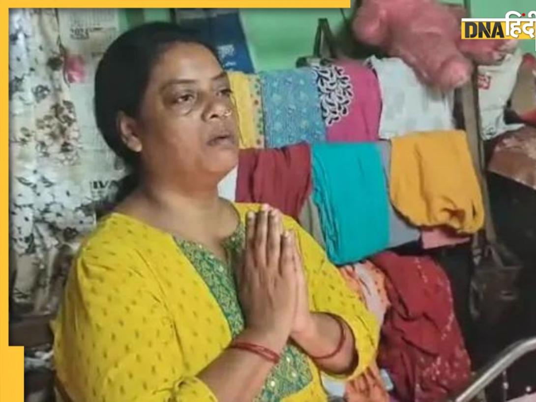
पाकिस्तान ने पहली बार कबूली कारगिल युद्ध में अपनी भागीदारी, जानें आर्मी चीफ मुनीर ने क्या कहा![submenu-img]() कोलकाता के RG कर हॉस्पिटल में फिर से हंगामा, युवक की मौत के बाद परिवार ने लगाए गंभीर आरोप
कोलकाता के RG कर हॉस्पिटल में फिर से हंगामा, युवक की मौत के बाद परिवार ने लगाए गंभीर आरोप
- Automobile
![submenu-img]() Skoda-Auto Volkswagen India to invest Rs 15000 crore to set up EV plant in…
Skoda-Auto Volkswagen India to invest Rs 15000 crore to set up EV plant in…![submenu-img]() Hyundai Venue E+ with electric sunroof launched in India; price starts at Rs…
Hyundai Venue E+ with electric sunroof launched in India; price starts at Rs…![submenu-img]() DNA Auto Awards 2024: Maruti Suzuki Swift nominated for ‘CAR OF THE YEAR’; check price, features
DNA Auto Awards 2024: Maruti Suzuki Swift nominated for ‘CAR OF THE YEAR’; check price, features![submenu-img]() DNA Auto Awards 2024: Hyundai Alcazar Facelift nominated for ‘CAR OF THE YEAR’; check details
DNA Auto Awards 2024: Hyundai Alcazar Facelift nominated for ‘CAR OF THE YEAR’; check details![submenu-img]() Hyundai Creta Knight Edition launched in India: Check price, features, design
Hyundai Creta Knight Edition launched in India: Check price, features, design
- Education
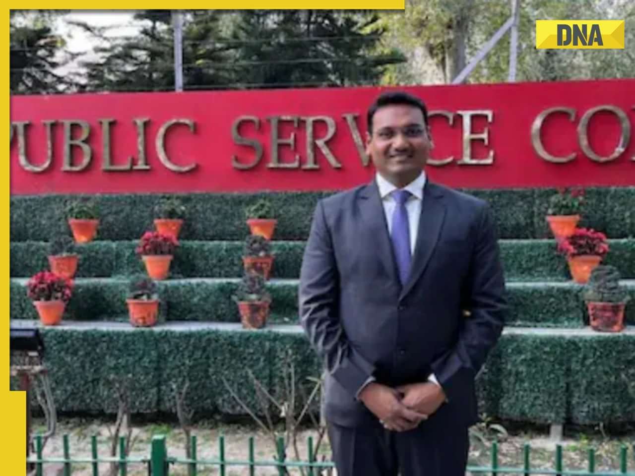
![submenu-img]() Meet IIT topper who left corporate job to become IAS officer, failed four times in UPSC exam, he is...
Meet IIT topper who left corporate job to become IAS officer, failed four times in UPSC exam, he is...![submenu-img]() BIG UPDATE! UGC NET answer key 2024 to be released soon at...
BIG UPDATE! UGC NET answer key 2024 to be released soon at...![submenu-img]() Meet woman, mill worker’s daughter who lost mother during UPSC preparations, still cracked it with AIR 14, she is now...
Meet woman, mill worker’s daughter who lost mother during UPSC preparations, still cracked it with AIR 14, she is now...![submenu-img]() Meet man, 54-year-old engineer who left his high-paying job to crack NEET exam but there's a twist
Meet man, 54-year-old engineer who left his high-paying job to crack NEET exam but there's a twist![submenu-img]() Meet IIT-JEE topper with AIR 1, who quit IIT Bombay after a year due to...
Meet IIT-JEE topper with AIR 1, who quit IIT Bombay after a year due to...
- Videos
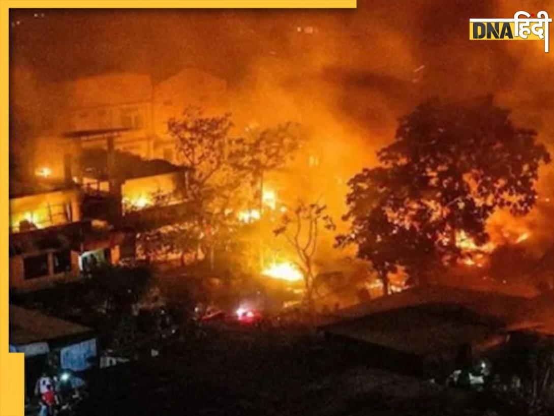
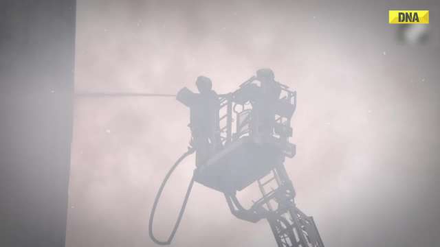
![submenu-img]() Mumbai: Fire Breaks Out At Times Tower In Mumbai, 9 Fire Units Deployed
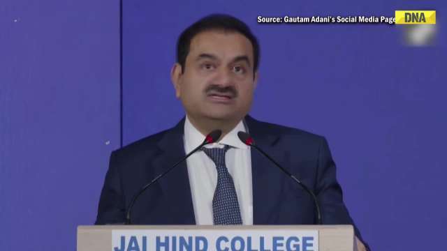
Mumbai: Fire Breaks Out At Times Tower In Mumbai, 9 Fire Units Deployed![submenu-img]() 'Dharavi Project Is About Restoring Dignity...', Says Gautam Adani | Dharavi Redevelopment Project
'Dharavi Project Is About Restoring Dignity...', Says Gautam Adani | Dharavi Redevelopment Project![submenu-img]() Kolkata Doctor Case: CBI Visits RG Kar, Seizes Documents On Funds Used During Sandip Ghosh’s Tenure
Kolkata Doctor Case: CBI Visits RG Kar, Seizes Documents On Funds Used During Sandip Ghosh’s Tenure![submenu-img]() Giriraj Singh Attacked: Union Minister Giriraj Singh Assaulted In Begusarai, Bihar; Accused Arrested
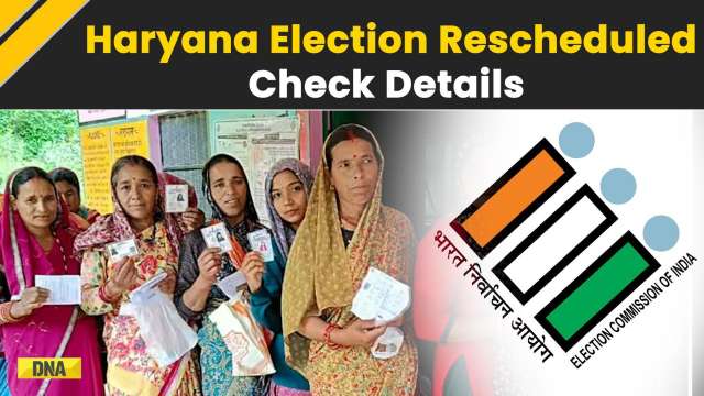
Giriraj Singh Attacked: Union Minister Giriraj Singh Assaulted In Begusarai, Bihar; Accused Arrested![submenu-img]() Haryana Assembly Election 2024: Haryana Assembly Election Date Changed, Check Details Here
Haryana Assembly Election 2024: Haryana Assembly Election Date Changed, Check Details Here
- Business
![submenu-img]() This college turned down Gautam Adani’s application, after 46 years called to honour him
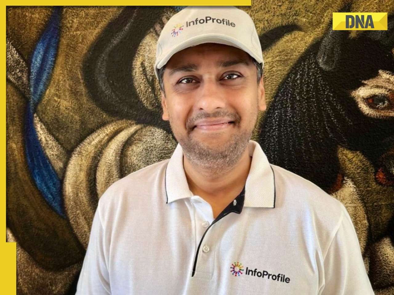
This college turned down Gautam Adani’s application, after 46 years called to honour him![submenu-img]() Business heartthrob Vaibhav Maloo pursues his childhood dreams in the digital world by launching InfoProfile
Business heartthrob Vaibhav Maloo pursues his childhood dreams in the digital world by launching InfoProfile ![submenu-img]() Skoda-Auto Volkswagen India to invest Rs 15000 crore to set up EV plant in…
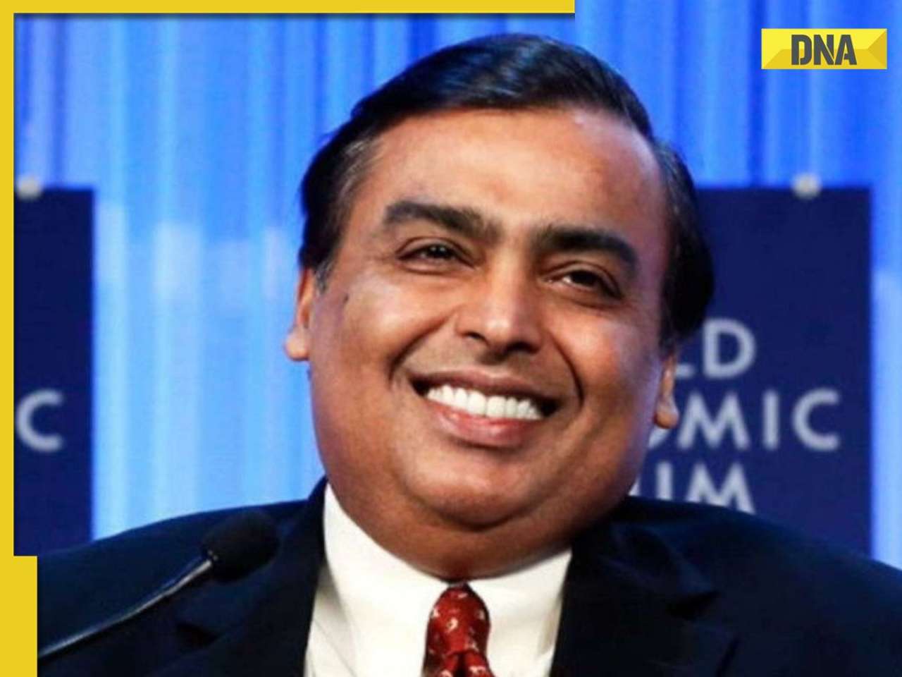
Skoda-Auto Volkswagen India to invest Rs 15000 crore to set up EV plant in…![submenu-img]() This Mukesh Ambani Reliance share plummets 30% in weeks, investors caught in lower circuit trap
This Mukesh Ambani Reliance share plummets 30% in weeks, investors caught in lower circuit trap![submenu-img]() Hyundai Venue E+ with electric sunroof launched in India; price starts at Rs…
Hyundai Venue E+ with electric sunroof launched in India; price starts at Rs…
- Photos
![submenu-img]() Meet Yesha Sagar, Indian-Canadian model and actress making waves as cricket presenter
Meet Yesha Sagar, Indian-Canadian model and actress making waves as cricket presenter![submenu-img]() Meet actress who never got lead roles, still turned superstar, one rumour ruined her career, became second wife of...
Meet actress who never got lead roles, still turned superstar, one rumour ruined her career, became second wife of...![submenu-img]() Sundar Pichai to Mark Zuckerberg: 10 tech leaders from Time's 2024 AI 100 list
Sundar Pichai to Mark Zuckerberg: 10 tech leaders from Time's 2024 AI 100 list![submenu-img]() Meet actress worth Rs 10000 cr, among youngest billionaires ever, once had no money for gas, now richer than SRK, Salman
Meet actress worth Rs 10000 cr, among youngest billionaires ever, once had no money for gas, now richer than SRK, Salman![submenu-img]() Top six signs of high cholesterol on face that you must not ignore
Top six signs of high cholesterol on face that you must not ignore
- India
![submenu-img]() Is Flipkart Minutes the new Santa? Bengaluru man gets free PS5 with TV order
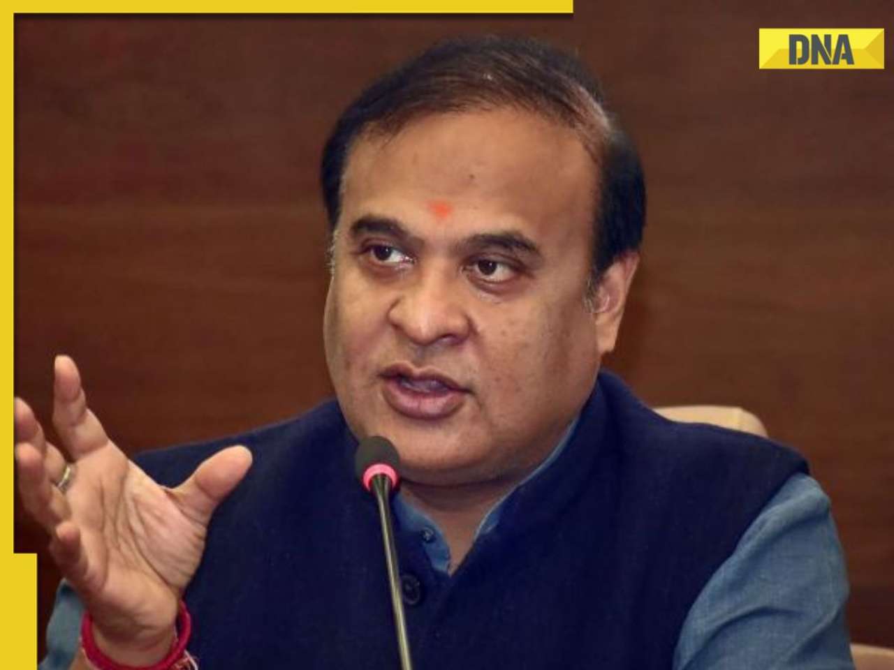
Is Flipkart Minutes the new Santa? Bengaluru man gets free PS5 with TV order![submenu-img]() CM Himanta Biswa Sarma sets this condition for new Aadhaar card applicants in Assam
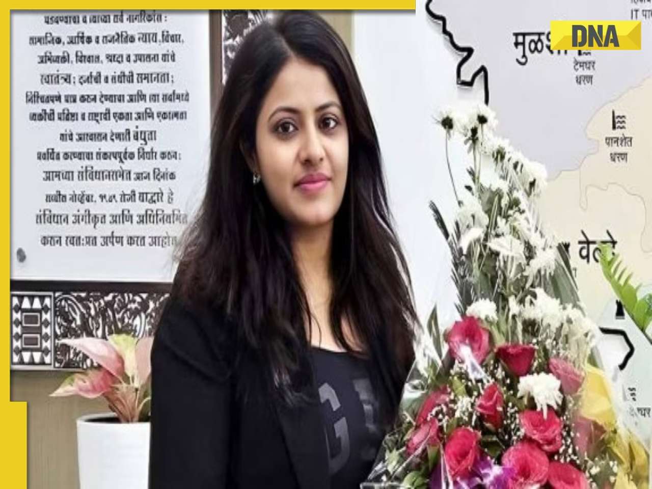
CM Himanta Biswa Sarma sets this condition for new Aadhaar card applicants in Assam![submenu-img]() Government discharges Ex-IAS Trainee Puja Khedkar over examination fraud with immediate effect
Government discharges Ex-IAS Trainee Puja Khedkar over examination fraud with immediate effect ![submenu-img]() Kolkata doctor rape-murder case: DNA report suggests Sanjay Roy lone accused, CBI to file chargesheet
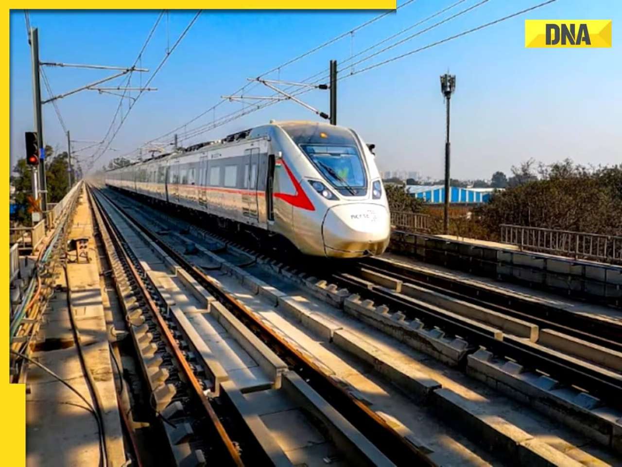
Kolkata doctor rape-murder case: DNA report suggests Sanjay Roy lone accused, CBI to file chargesheet![submenu-img]() This city is all set to get India's fastest metro train service; check route, timeline, distance, top speed and more
This city is all set to get India's fastest metro train service; check route, timeline, distance, top speed and more


)
)
)
)
)
)
)
)
)
)
)
)
)
)


)
)
)
)
)
)