
- Home
- Latest News
![submenu-img]() 'Life is short': Rashmika Mandanna informs fans about recovery from accident, says 'don’t know if...'
'Life is short': Rashmika Mandanna informs fans about recovery from accident, says 'don’t know if...'![submenu-img]() Meet Indian man with Rs 954520 crore net worth, who is likely to become a trillionaire after...
Meet Indian man with Rs 954520 crore net worth, who is likely to become a trillionaire after...![submenu-img]() This actor was called Amitabh Bachchan of Punjabi cinema, did 300 films, spent last days in old-age home, died penniless
This actor was called Amitabh Bachchan of Punjabi cinema, did 300 films, spent last days in old-age home, died penniless![submenu-img]() SK Fortune Group is Changing Pune’s Skyline with new high-rise buildings
SK Fortune Group is Changing Pune’s Skyline with new high-rise buildings![submenu-img]() 2000 cops, chopper, thermal imaging: How 'owner of the Universe' was arrested
2000 cops, chopper, thermal imaging: How 'owner of the Universe' was arrested
- Webstory
- DNA Hindi
![submenu-img]() Mpox In India: भारत में एमपॉक्स के पहले केस की पुष्टि, स्वास्थ्य मंत्रालय ने कहा- यह एक अलग मामला
Mpox In India: भारत में एमपॉक्स के पहले केस की पुष्टि, स्वास्थ्य मंत्रालय ने कहा- यह एक अलग मामला![submenu-img]() Bengaluru Cafe Blast में NIA की चार्जशीट में बड़ा खुलासा, राम मंदिर प्राण प्रतिष्ठा के दिन दहलाने के लिए रची थी साजिश
Bengaluru Cafe Blast में NIA की चार्जशीट में बड़ा खुलासा, राम मंदिर प्राण प्रतिष्ठा के दिन दहलाने के लिए रची थी साजिश![submenu-img]() हरियाणा में कांग्रेस के साथ नहीं हुआ गठबंधन, AAP ने जारी की 20 उम्मीदवारों की पहली लिस्ट
हरियाणा में कांग्रेस के साथ नहीं हुआ गठबंधन, AAP ने जारी की 20 उम्मीदवारों की पहली लिस्ट![submenu-img]() Kolkata Rape Case: पुलिस कमिश्नर को हटाने के दबाव पर ममता बनर्जी ने कहा, 'वो आए थे इस्तीफा देने...'
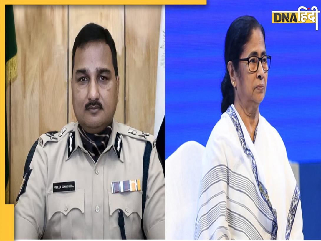
Kolkata Rape Case: पुलिस कमिश्नर को हटाने के दबाव पर ममता बनर्जी ने कहा, 'वो आए थे इस्तीफा देने...'![submenu-img]() Team India Schedule: भारतीय क्रिकेट टीम को इस साल खेलने हैं इतने मैच, यहां जानिए 2024 में अब कैसा है टीम इंडिया का पूरा शेड्यूल
Team India Schedule: भारतीय क्रिकेट टीम को इस साल खेलने हैं इतने मैच, यहां जानिए 2024 में अब कैसा है टीम इंडिया का पूरा शेड्यूल
- Automobile
![submenu-img]() Hyundai Alcazar facelift launched in India: Check price, design and other features
Hyundai Alcazar facelift launched in India: Check price, design and other features![submenu-img]() Jawa 42 FJ vs Royal Enfield Classic 350: Price, engine, specs compared
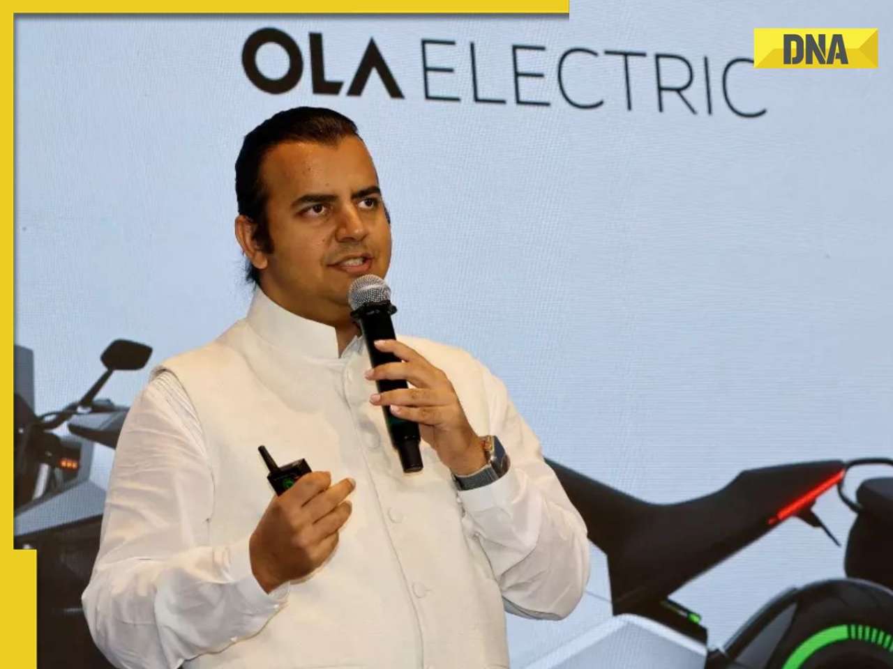
Jawa 42 FJ vs Royal Enfield Classic 350: Price, engine, specs compared ![submenu-img]() Bhavish Aggarwal’s Ola Electric set to challenge Mahindra, Bajaj as his company plans to launch…
Bhavish Aggarwal’s Ola Electric set to challenge Mahindra, Bajaj as his company plans to launch…![submenu-img]() Skoda-Auto Volkswagen India to invest Rs 15000 crore to set up EV plant in…
Skoda-Auto Volkswagen India to invest Rs 15000 crore to set up EV plant in…![submenu-img]() Hyundai Venue E+ with electric sunroof launched in India; price starts at Rs…
Hyundai Venue E+ with electric sunroof launched in India; price starts at Rs…
- Education
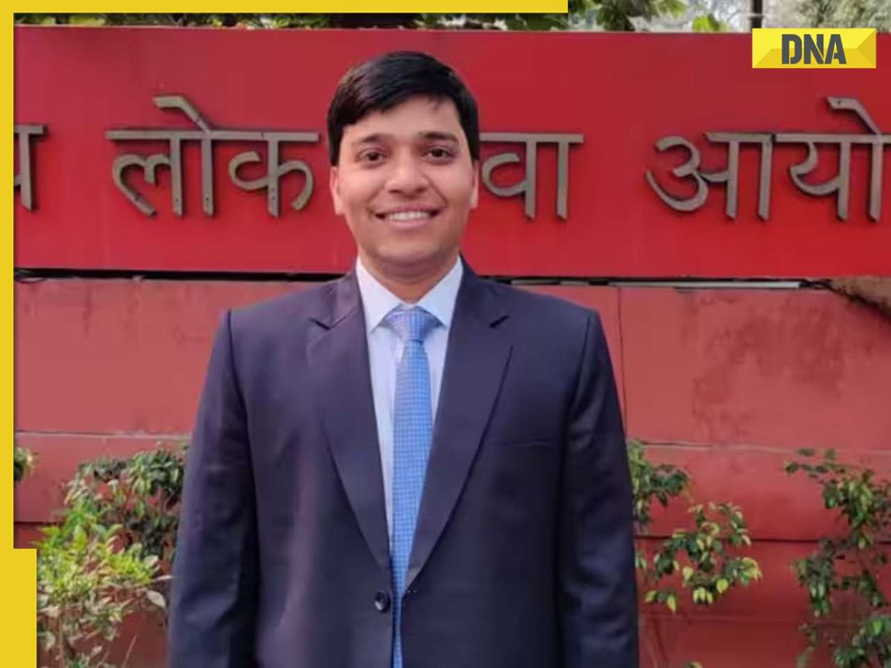
![submenu-img]() Meet man, who left Rs 2800000 salary job, then cracked UPSC exam with AIR 171, became...
Meet man, who left Rs 2800000 salary job, then cracked UPSC exam with AIR 171, became...![submenu-img]() Meet Rashi Bagga, hired for record-breaking package, had rejected Rs 14 lakh job, not from IIT, IIM…
Meet Rashi Bagga, hired for record-breaking package, had rejected Rs 14 lakh job, not from IIT, IIM…![submenu-img]() Meet man, who worked as daily wager, cracked NEET exam with AIR...
Meet man, who worked as daily wager, cracked NEET exam with AIR...![submenu-img]() SSC CGL 2024 exam begins today: Check important guidelines, other details here
SSC CGL 2024 exam begins today: Check important guidelines, other details here![submenu-img]() Meet woman who cleared UPSC exam in 1st attempt at 21, got AIR 13 without coaching, but didn’t become IAS, IPS due to...
Meet woman who cleared UPSC exam in 1st attempt at 21, got AIR 13 without coaching, but didn’t become IAS, IPS due to...
- Videos
![submenu-img]() Kolkata Doctor Case: TMC MP Jawhar Sircar To Resign From Rajya Sabha Over Kolkata Doctor Rape-Murder
Kolkata Doctor Case: TMC MP Jawhar Sircar To Resign From Rajya Sabha Over Kolkata Doctor Rape-Murder![submenu-img]() Mumbai: Fire Breaks Out At Times Tower In Mumbai, 9 Fire Units Deployed
Mumbai: Fire Breaks Out At Times Tower In Mumbai, 9 Fire Units Deployed![submenu-img]() 'Dharavi Project Is About Restoring Dignity...', Says Gautam Adani | Dharavi Redevelopment Project
'Dharavi Project Is About Restoring Dignity...', Says Gautam Adani | Dharavi Redevelopment Project![submenu-img]() Kolkata Doctor Case: CBI Visits RG Kar, Seizes Documents On Funds Used During Sandip Ghosh’s Tenure
Kolkata Doctor Case: CBI Visits RG Kar, Seizes Documents On Funds Used During Sandip Ghosh’s Tenure![submenu-img]() Giriraj Singh Attacked: Union Minister Giriraj Singh Assaulted In Begusarai, Bihar; Accused Arrested
Giriraj Singh Attacked: Union Minister Giriraj Singh Assaulted In Begusarai, Bihar; Accused Arrested
- Business
![submenu-img]() Meet Indian man with Rs 954520 crore net worth, who is likely to become a trillionaire after...
Meet Indian man with Rs 954520 crore net worth, who is likely to become a trillionaire after...![submenu-img]() Meet Indian man with Rs 73040 crore net worth, who is set to build India's 'biggest' mall in...
Meet Indian man with Rs 73040 crore net worth, who is set to build India's 'biggest' mall in...![submenu-img]() Meet Indian man who ran away from house at 12, worked as tailor, now owns Rs 17000 crore company which is world’s best…
Meet Indian man who ran away from house at 12, worked as tailor, now owns Rs 17000 crore company which is world’s best…![submenu-img]() Meet man who worked as salesman at 13, borrowed Rs 10000 to build Rs 32000 crore firm, now one of India’s richest with..
Meet man who worked as salesman at 13, borrowed Rs 10000 to build Rs 32000 crore firm, now one of India’s richest with..![submenu-img]() Mistakes To Avoid When Leading A Company Through Digital Transformation – The Experience Of Nikhil Badwaik
Mistakes To Avoid When Leading A Company Through Digital Transformation – The Experience Of Nikhil Badwaik
- Photos
![submenu-img]() Made in Rs 63 crore, this film was called next Gadar, superstar wrote movie 20 years ago, it became major flop, earned..
Made in Rs 63 crore, this film was called next Gadar, superstar wrote movie 20 years ago, it became major flop, earned..![submenu-img]() This actress worked as telephone operator, became Bollywood superstar despite not knowing Hindi; her film was banned...
This actress worked as telephone operator, became Bollywood superstar despite not knowing Hindi; her film was banned...![submenu-img]() 7 countries with most UNESCO World Heritage sites; check how many India has
7 countries with most UNESCO World Heritage sites; check how many India has![submenu-img]() Top five anti-ageing skincare secrets by Nita Ambani
Top five anti-ageing skincare secrets by Nita Ambani![submenu-img]() India's longest-running TV show has been on air for 57 years, has 16000 episodes; not KBC, CID, Taarak Mehta, Bigg Boss
India's longest-running TV show has been on air for 57 years, has 16000 episodes; not KBC, CID, Taarak Mehta, Bigg Boss
- India
![submenu-img]() SK Fortune Group is Changing Pune’s Skyline with new high-rise buildings
SK Fortune Group is Changing Pune’s Skyline with new high-rise buildings![submenu-img]() Delhi court sends AAP MLA Amanatullah Khan to 14-day judicial custody in...
Delhi court sends AAP MLA Amanatullah Khan to 14-day judicial custody in...![submenu-img]() First case of Mpox confirmed in India, patient put under isolation
First case of Mpox confirmed in India, patient put under isolation![submenu-img]() Rameshwaram Cafe blast: NIA files chargesheet against four accused
Rameshwaram Cafe blast: NIA files chargesheet against four accused![submenu-img]() Weather Update: IMD issues red alert for heavy rainfall in Odisha, other states; check full forecast for this week
Weather Update: IMD issues red alert for heavy rainfall in Odisha, other states; check full forecast for this week


)
)
)
)
)
)
)
)
)
)
)
)
)
)
)


)
)
)
)
)
)